
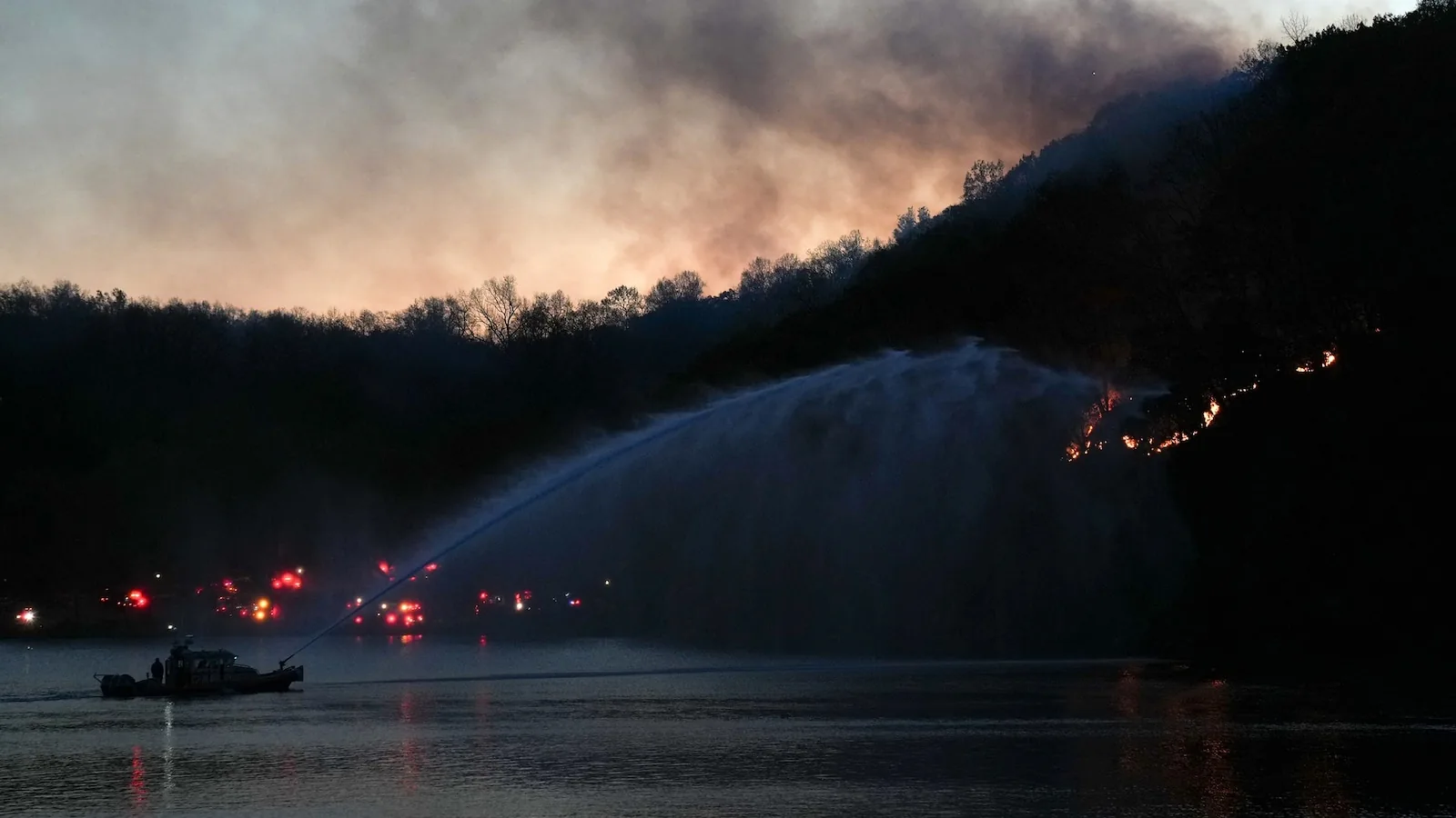
NEW YORK, NY — More than 40 million people are under red flag warnings across eight states as fire danger stays high across the Northeast. Gusty winds, very low humidity and dry ground are combining to keep the region primed for fast-moving fires.
Conditions should improve a little on Sunday, but forecasters say the larger fire risk will continue into next week. The area has gone without measurable rain for days, and drought conditions are already moderate to extreme in much of the region.
Forecasters say winds could gust to 35 mph, while humidity may fall as low as 15% to 30%. That combination can allow any spark to spread quickly, especially where fuels remain dry.
Little rain expected as drought adds to the fire threat
The immediate forecast offers few signs of relief. No measurable rain is expected over the next several days across much of the Northeast, which means the dry pattern is likely to persist.
There are indications that some much-needed rain could arrive late Wednesday into Thursday, but forecasters say it does not appear likely to be a full soaking. Even modest rainfall would help, though, because the lack of precipitation is worsening already dry soils.
That dryness is important because it can make vegetation easier to ignite and harder to control once a fire starts. With winds still in the mix, the risk remains elevated well beyond a single day.
Hawaii joins the fire weather alert with strong winds and dry fuels
Hawaii is the ninth state under red flag warnings, and nearly the entire state is covered by the alert. The leeward sides of every island are included, showing how widespread the concern is.
Wind gusts there could reach 50 mph, with relative humidity dropping to around 45%. Dry fuels on the ground are adding to the danger and could help any fire spread rapidly if one starts.
Parts of Maui, Honolulu and Kauai counties are already dealing with severe and even extreme drought conditions. That means the fire weather threat is landing on top of a landscape that is already unusually dry.
Pacific Northwest storm to bring snow and mountain winter alerts
While fire danger grips the East and parts of Hawaii, the Pacific Northwest is bracing for a different kind of weather threat. A strong storm system is moving onshore this weekend and is expected to bring periods of rain and significant mountain snow.
Winter alerts are in place for much of the Cascades and the northern Rockies. The warnings stretch across portions of six states from Washington to Utah, reflecting the broad reach of the system.
Forecasters say mountain snowfall could total at least 1 to 2 feet in some locations, especially above 2,000 feet in elevation. That kind of snow can quickly affect travel and mountain conditions even as lower elevations see rain.
Texas braces for severe weather as storms organize on Sunday
A new storm is expected to form in the Southern Plains on Sunday and bring a severe weather threat to parts of Texas. By Monday morning, the concern is forecast to shift eastward.
Dallas is among the areas that could see severe wind gusts during the morning commute. As the system continues moving east Monday afternoon and evening, the risk extends into parts of the southern Plains, the Ozarks and the lower Mississippi Valley.
Forecasters describe the threat as low, but not negligible, for severe gusts in those areas. The timing matters because stronger winds during busy travel periods can create added disruption.
Tropical Storm Sara brings catastrophic flooding to Central America
Tropical Storm Sara is producing life-threatening and catastrophic flooding in parts of Central America, according to the National Hurricane Center. The storm is expected to move ashore in Belize on Sunday.
Through early next week, northern Honduras could see 15 to 25 inches of rain, with isolated totals near 35 inches. The rainfall is expected to trigger widespread flash flooding and mudslides, especially along and near the Sierra La Esperanza.
Elsewhere across Honduras, Belize, El Salvador, eastern Guatemala, western Nicaragua and Mexico’s Quintana Roo state, 5 to 10 inches of rain is possible, with localized totals near 15 inches. The National Hurricane Center says Sara should weaken over the Yucatan Peninsula and toward the Gulf of Mexico, with its remnants expected to send rain into the central and eastern Gulf on Tuesday and Wednesday.
